
Table of Contents
A local crisis reporting dashboard centralizes real-time incident data, fires, floods, power outages, and accidents, into a single, actionable view for a defined geographic area. These dashboards transform raw alerts into maps, notifications, and statistics that help teams respond quickly and coordinate effectively.
Agencies like the Centers for Disease Control and Prevention relied on similar dashboards to track cases and vaccination data across the United States, proving the value of structured visibility.
At BrandJet, we apply the same principles to operational, communications, and brand monitoring. Keep reading to see how a local crisis reporting dashboard functions and implement it.
Rapid Insights – Local Crisis Essentials
- A local crisis reporting dashboard centralizes emergency data into a single, map based view for faster decision making.
- Free monitoring tools can cover roughly 80 percent of mainstream reports, but advanced platforms provide deeper signals.
- Accuracy depends on data verification, geo filtering, and human oversight, not just automation.
What Is a Local Crisis Reporting Dashboard and Who Is It For?
A local crisis reporting dashboard aggregates real-time incident data into maps, alerts, and counters for a defined community or region, giving us a centralized view of evolving emergencies.
As highlighted by Google Crisis Response
“Google Crisis Response organizes emergency alerts and news updates relating to a crisis and publishes the information on its web properties or dedicated landing pages.” – Wikipedia
We use these dashboards to transform scattered signals into coordinated action and ensure our response is timely and precise. Core data inputs include:
- Emergency services dispatch feeds to track live incidents
- Social media streams and keyword monitors for situational awareness
- Public tip and citizen report aggregator forms to capture local reports
- RSS feeds from local news outlets for verified updates
Primary users depend on structured access:
- Municipal teams monitor local government operations and public safety alerts
- Emergency responders track live incident maps for rapid deployment
- Newsrooms consolidate hyperlocal updates for accurate reporting
- Residents receive live hazard notifications and safety guidance
We integrate these layers to reduce response lag, prevent information silos, and improve coordination across first responders, government agencies, and the community.
How local crisis reporting dashboards work

Local crisis dashboards gather data from multiple sources, filter it, and turn it into actionable visuals. They operate in three main layers: data collection, verification, and visualization, following strategies inspired by regional crisis detection guide principles.
Data collection
- Pulls from city open data portals, GIS public safety feeds, and 911 logs
- Aggregates local news via RSS
- Monitors social media for citizen reports and hazards
Filtering and verification
- Geo-fencing restricts alerts to specific areas
- Keyword triggers highlight terms like evacuation, outage, or collision
- Duplicate detection prevents overcounting incidents
- AI may assign severity scores, but human review ensures accuracy
Visualization
- Interactive maps show active risks and tactical awareness
- Incident status tags appear on operational boards
- Time filters create crisis timelines
- Resource overlays track emergency assets and allocations
Verification is essential: it includes checking geo locations, removing duplicates, tagging severity, and manual review. This ensures that dashboards provide reliable insights for rapid response, helping city officials and responders act on accurate, up-to-date information without relying on raw feeds alone.
Free tools vs. paid platforms: understanding the trade-offs
Free tools like Google Alerts cover most mainstream reporting, roughly 80 percent of publicly indexed news. They are easy to use and fit small teams or neighborhood monitoring. They don’t provide real-time dashboards or multi-agency views.
In a recent analysis by Forbes Council
“…your monitoring dashboard shows nothing because you’re watching the wrong places.” – Forbes
Enterprise platforms such as Dataminr offer predictive alerts and richer insights, including real-time analytics, geo-spatial filtering, and event correlation. Costs often exceed $10,000 per year.
Comparison of key features
| Feature | Google Alerts | Dataminr |
| Cost | Free | Often $10,000+ annually |
| Coverage | Indexed web and news | Social streams and proprietary signals |
| Customization | Basic keyword filters | Advanced geo-fencing alerts and risk models |
| Learning curve | Low | Moderate to high |
| AI inference risk | Low | Possible AI misclassification |
Considerations when choosing a platform
- Free tools work for basic situational awareness and simple monitoring.
- Enterprise tools support high-risk sectors and multi-source intelligence.
- Hybrid setups combine RSS feeds with custom triage tools.
Many organizations start with free alerts to track baseline events, then upgrade as monitoring needs grow. The decision depends on risk level, operational complexity, and budget.
Which local incident maps actually work in practice?

Community users often rely on live trackers like GTAupdate.com and tpscalls.live for Toronto emergency data. These tools give better real-time visibility than some official portals, complementing insights from geo-specific crisis alerts to enhance situational awareness.
Reddit discussions in r/Toronto highlight their focus:
- GTAupdate tracks fire and medical calls in the Toronto core, useful for fire response and ambulance dispatch.
- tpscalls.live serves as a police activity tracker and 911 call overlay.
Common features of effective dashboards
- Real-time call updates
- Map overlays for police and fire activity
- Basic filtering by category
- Timestamped public incident logs
Users note limitations, including restricted geographic coverage and limited historical data. Official municipal dashboards often lack advanced filtering or export options, functioning more like static civil defense portals than dynamic risk tools.
Effectiveness depends on speed, clarity, and usability rather than branding. The best real-time collaboration dashboards prioritize reliable data and an intuitive layout over extra complexity, letting responders quickly assess incidents and act without confusion.
Risks of bias, AI hallucination, and over-filtering

Overreliance on automated scoring or social media scraping can introduce bias, misclassification, and false positives in local crisis dashboards, which can be mitigated by structured crisis management approaches.
AI systems may misread sarcasm, mislabel unrelated posts as incidents, or assign inaccurate severity scores. In fast-moving situations, such as flood warnings or hazmat incidents, incorrect alerts can divert resources and slow response.
Keyword bias is another concern. If a system tracks “fire” but ignores terms like “blaze” or “smoke,” it may miss relevant events. Geo-tagging errors can place incidents outside their real boundaries, distorting public safety analytics. Relying solely on automation cannot produce a fully reliable disaster readiness dashboard.
Strategies to reduce risk
- Combine RSS feeds with official municipal data for broader coverage
- Cross-verify events using public safety GIS sources
- Avoid depending entirely on citizen journalism streams
- Maintain manual oversight within the emergency operations center
Structured validation processes improve accuracy and reduce rumor amplification. A well-designed crisis information strategy balances speed with reliability, enabling responders to act on accurate, timely insights. Human review combined with multi-source verification ensures dashboards remain trustworthy under pressure.
Integrating Community Feedback Into Your Dashboard
Credits : Microsoft 365 Developer
A local crisis reporting dashboard is only as effective as the information flowing into it. Including structured community input improves coverage, relevance, and trust.
Before building feedback channels, ensure users understand how to submit reports safely. Mobile apps, web forms, and SMS services can serve as citizen report aggregators.
Verified submissions enhance the accuracy of your live incident feed, while reducing false positives or rumor amplification. At BrandJet, we emphasize combining human insight with automated monitoring to create a reliable situational awareness panel.
Community contributions can be organized into categories like fire, flood, outage, or traffic collision feed. Each report should include location, time, description, and optional media attachments. This data can feed into a geo-spatial incident view or dynamic risk display.
Key implementation points include:
- Clearly define acceptable report types and formats
- Use geo-validation to confirm submissions align with targeted local zones
- Implement moderation or AI-assisted filtering to reduce noise
- Provide acknowledgment or feedback to contributors to encourage ongoing engagement
Integrating community input also supports a crisis communication hub and multi-agency dashboard by giving responders real-time insight from those on the ground.
FAQ
How does a local crisis reporting dashboard help residents during emergencies?
A local crisis reporting dashboard helps residents understand what is happening nearby in real time. It combines a live incident feed, emergency incident tracker, and local disaster map in one view. Clear visuals and timely updates allow people to assess risk, avoid dangerous areas, and take informed action based on verified local information instead of rumors or delayed reports.
Can a local crisis reporting dashboard show real-time alerts for different hazards?
Yes, it shows real-time alerts for multiple hazard types in one place. Users can monitor fire response maps, flood warning panels, accident live updates, and outage status boards as conditions change.
By presenting this information through a single situational awareness panel, the dashboard reduces confusion and helps users quickly understand what type of threat is active and where.
How are reports verified inside a local crisis reporting dashboard?
Reports are verified by comparing data from multiple sources before display. Citizen report aggregators, police activity trackers, and local EMS trackers feed into a public incident log.
Event correlation tools and incident severity indexes help confirm accuracy, remove duplicates, and flag false reports. This process ensures users see reliable, timely information during fast-moving local emergencies.
Who benefits most from using a local crisis reporting dashboard?
Residents, emergency responders, and local authorities all benefit. Residents follow evacuation route displays and shelter status trackers to stay safe. Response teams rely on resource allocation maps, live responder maps, and coordination panels.
Local governments use a common operating picture to improve communication, reduce response delays, and strengthen overall community resilience during crisis situations.
What makes a local crisis reporting dashboard better than scattered local news updates?
It delivers structured, real-time information instead of fragmented updates. Unlike scattered local news, it uses geo-spatial incident views, public incident heatmaps, and risk heatmap generators to show patterns and impact clearly.
This creates a reliable crisis communication hub that supports faster understanding, better decisions, and safer outcomes during emergencies, disasters, outages, and public safety threats.
Local crisis reporting dashboard strategy for modern teams
We turn data into action, ensuring every local alert drives a coordinated response. Delays, miscommunication, and uncertainty shrink when dashboards connect verified sources, analytics, and workflows.
With BrandJet, teams combine real-time monitoring with AI perception scoring, uniting physical and informational risk. Verification, visualization, and response workflows operate in a single system, enabling faster response, public trust, and community safety.
BrandJet tracks social media, news, and AI-generated content, analyzes sentiment and perception, supports multi-channel outreach and PR, and provides a unified inbox with analytics. Modern teams turn every signal into informed, decisive action with BrandJet.
References
- https://en.wikipedia.org/wiki/Google_Crisis_Response
- https://www.forbes.com/councils/forbescommunicationscouncil/2025/12/19/the-crisis-diagnostic-comms-leaders-should-run-before-q1/
Related Articles

More posts

Prevent Internal Misinformation in Organizations
Prevent internal misinformation by establishing clear communication protocols, verification processes, and a culture...

Internal Crisis Communication: How Teams Stay Aligned
Internal crisis communication is the process organizations use to share clear, accurate information with employees...
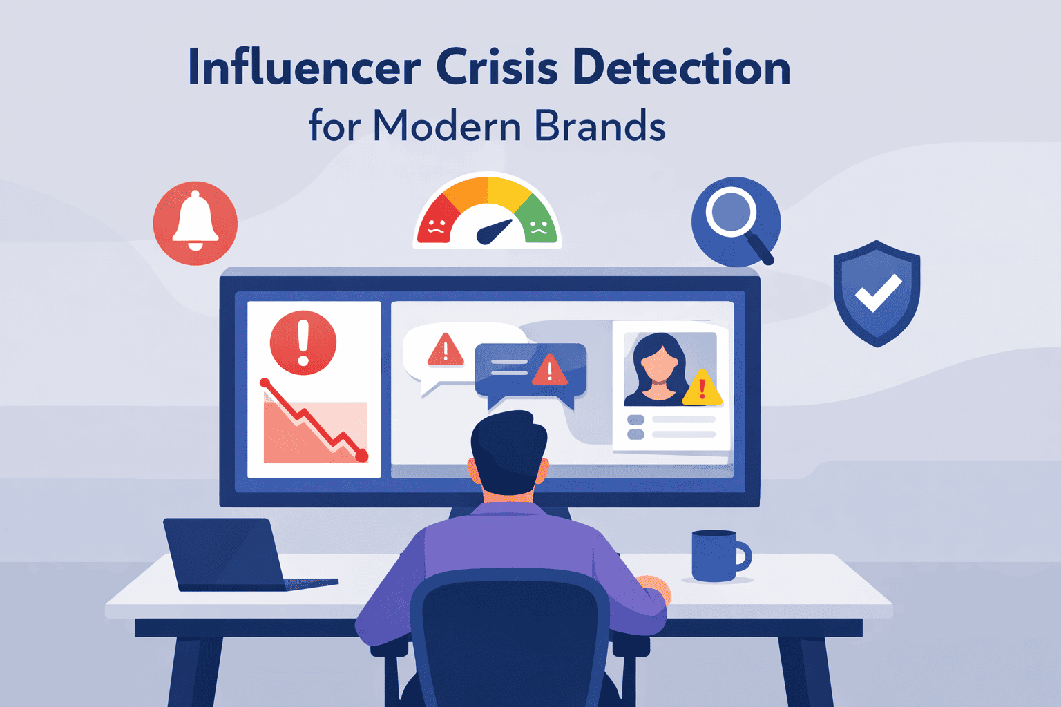
Influencer Crisis Detection for Modern Brands
An influencer crisis can cost you trust and revenue. It’s about spotting the danger signs before they blow up. The...